
This Arctic Atlas Shows Where Oil and Gas Activities Overlap with Wildlife and Indigenous Communities – Image for illustrative purposes only (Image credits: Pexels)
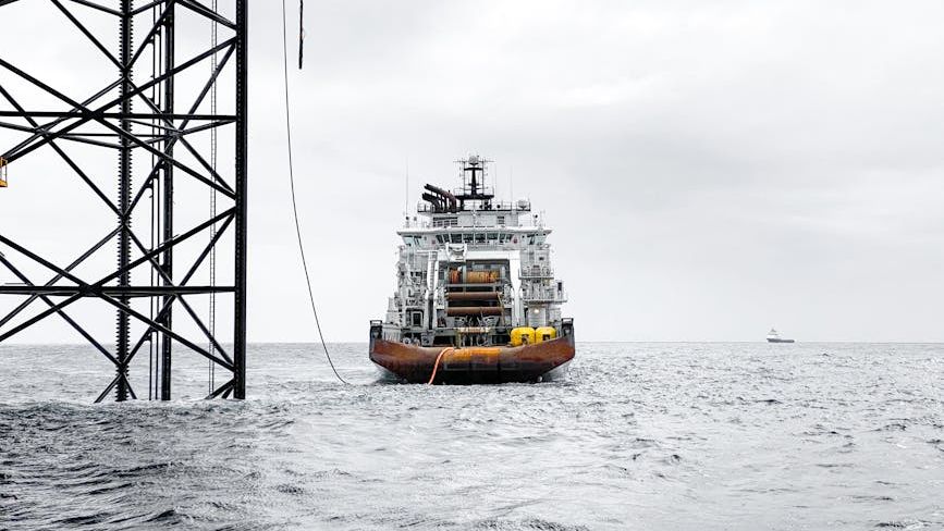
In the Arctic, where retreating ice is opening new pathways for resource development, researchers have produced a detailed atlas that maps the precise locations of oil and gas activities against areas of high ecological and cultural value. The work draws on dozens of public datasets covering Alaska, Canada, Greenland, Norway, and Russia to show where extraction already occurs or is planned. It highlights more than 512,000 square kilometers of territory – roughly the size of Spain – containing active wells, pipelines, leases, and exploration licenses. The effort aims to guide decisions on where fossil fuel projects should be avoided or stopped to protect both the climate and local communities.
Scale of Existing Infrastructure
The atlas documents 44,539 active wells and nearly 40,000 kilometers of pipelines across the region. These facilities cluster most heavily in northwestern Canada, northern Alaska, and northern Russia, particularly around the Yamal Peninsula. The mapping boundary follows the one used by the Conservation of Arctic Flora and Fauna working group to capture the widest possible range of vulnerable ecosystems. Within this framework, the researchers identified both current operations and areas under bid or licensed for future development.
Ecological Overlaps and Species at Risk
More than 7 percent of the mapped fossil fuel areas fall inside protected zones designated by the International Union for Conservation of Nature. An additional 13 percent overlap with the combined ranges of three key species: polar bears, caribou, and yellow-billed loons. These overlaps occur most densely on Alaska’s North Slope, in northwestern Canada, and across the Yamal Peninsula. Fossil fuel infrastructure can fragment habitats, alter migration paths, and introduce pollutants that affect breeding and feeding grounds. In several Russian reserves, protected-area boundaries appear to have been adjusted around existing wells, suggesting that conservation designations have sometimes been narrowed to accommodate extraction. The study notes that such patterns raise questions about long-term habitat integrity, though it stops short of predicting exact population impacts without further field data.
Indigenous Territories and Land Use
Seventy-three percent of the identified oil and gas zones lie on lands where Indigenous communities retain significant management influence. These areas represent more than 4 percent of all Indigenous Peoples’ lands in the Arctic. The atlas treats these overlaps as indicators rather than automatic conflicts, recognizing that some communities may participate in or benefit from resource projects. Still, the mapping underscores potential risks to traditional livelihoods, health, and cultural practices when extraction expands into these territories. Local groups could use the atlas to track nearby activities and participate more effectively in planning processes.
Policy Implications and Next Steps
The researchers argue that the atlas supports a broader shift toward permanently restricting new fossil fuel development in the Arctic. They point to the Arctic National Wildlife Refuge in Alaska as an example of how protections can shift with changing administrations, underscoring the need for stronger, binding international rules. Economist Paul Ekins, who helped develop the concept of unburnable carbon, welcomed the atlas as a tool that can raise political pressure for decisive action. The team plans to extend similar mapping to Brazil, Italy, Nigeria, and the United Kingdom, building on earlier work in the Ecuadorian Amazon. Discussions to update the European Union’s Arctic policy later this year offer one immediate opportunity to apply the findings.
Key points from the atlas
- 512,000 square kilometers of Arctic land already host or are slated for oil and gas work.
- 7 percent of these zones sit inside formally protected ecological areas.
- 73 percent overlap with Indigenous Peoples’ lands.
- Three focal species – polar bears, caribou, and yellow-billed loons – share ranges with 13 percent of the mapped activities.
The atlas does not prescribe specific bans or closures. Instead, it supplies a geographic framework that decision-makers and communities can use to weigh trade-offs between energy development and the preservation of Arctic ecosystems and cultures. As warming continues to reshape access to resources, the maps provide a clearer picture of where those choices will matter most.