
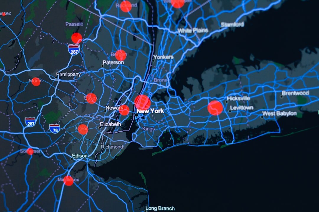
A Startling Extent of Risk (Image Credits: Unsplash)
New York City – Climate change amplifies flood risks across this waterfront metropolis, where surging storms and downpours threaten both coastal edges and interior neighborhoods. A team from the New York Botanical Garden released an interactive map identifying “Blue Zones,” regions susceptible to water intrusion from historical, current, or projected sources. More than 20% of the city falls into these categories, underscoring the need for targeted resilience strategies as extreme weather events intensify.
A Startling Extent of Risk
Researchers expressed surprise at the map’s findings, which extended far beyond expected waterfront areas. Eric Sanderson, vice president of urban conservation at the New York Botanical Garden and a study coauthor, noted the shock value in an interview with The City. “Everybody was startled, including us,” he said.
The Blue Zones encompass places where water once flowed naturally or could reemerge under climate pressures. This revelation challenges assumptions about safe inland spots. City officials now have a visual tool to prioritize upgrades amid aging sewers and overwhelmed drains.
Unveiling the Methodology
The map drew from centuries of data to paint a comprehensive picture. Investigators analyzed over 500 years of flood records, alongside modern inputs like 311 complaint logs and flood projections from the New York City Department of Environmental Protection and the Federal Emergency Management Agency.
Key to the approach was reconstructing the city’s pre-urban hydrology. Paved-over streams, ponds, and marshes still dictate flood patterns today. The resulting interactive tool layers these elements for users to explore block by block.
Details appeared in a paper published in the Annals of the New York Academy of Sciences. Authors emphasized how historical ecology reshapes views of the modern grid.
Inland Threats Demand Attention
Coastal fortifications have bolstered shorelines, yet some of the deadliest incidents struck far from the water. A recent Brooklyn basement flooding claimed a life, highlighting vulnerabilities in low-lying interiors, as reported by The New York Times.
Aging infrastructure exacerbates these issues. Overloaded sewers fail during heavy rains, a problem shared with other older cities and potentially costing billions to remedy, according to Fast Company.
- Storm surges push water inland via forgotten waterways.
- Heavy precipitation overwhelms dated drainage systems.
- Natural depressions collect runoff despite pavement.
- Climate projections forecast more frequent extremes.
- Urban heat islands intensify local rainfall.
Reframing Urban Planning
Lucinda Royte, manager of urban conservation, data tools, and outreach at the garden and another coauthor, highlighted the map’s boundary-agnostic view. “Water doesn’t care about those boundaries,” she told The City. Neighborhoods and zip codes often guide decisions, but hydrology follows terrain.
Planners can now identify adaptation opportunities. The researchers advocated using past water patterns to inform future defenses. This perspective promotes green infrastructure like restored wetlands over purely hard barriers.
Residents gain awareness too, enabling personal precautions in surprising zones distant from rivers or bays.
Key Takeaways
- Over one-fifth of NYC qualifies as a Blue Zone, blending historical and future flood data.
- Inland areas face deadly risks from overwhelmed infrastructure and hidden hydrology.
- The map empowers officials and locals to adapt beyond political divides.
This Blue Zones map marks a pivotal step in confronting New York City’s water-dominated destiny. By blending deep history with forward-looking analysis, it equips the city to build smarter resilience. What steps should your neighborhood take next? Share your thoughts in the comments.