


A Battle That Changed Everything

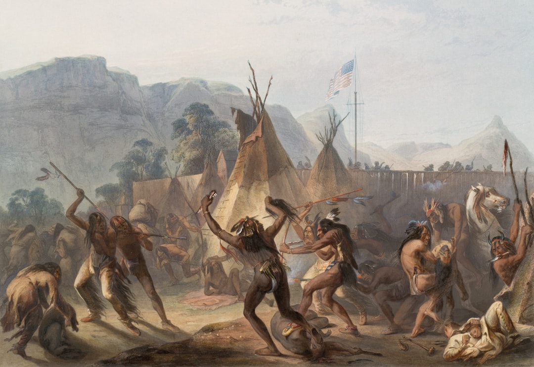
The Great Swamp Fight was a critical battle of King Philip’s War, fought on December 19, 1675, in which the Native peoples of New England fought English settlers and their Mohegan and Pequot allies in what is believed to be the bloodiest conflict per capita in U.S. history. The scale of the losses was enormous on both sides, though far heavier among the Narragansett. Despite fierce resistance, the fort was finally taken and set ablaze; as many as 600 Narragansett, including old people and women and children, were burned alive, which is why this incident has also been termed a massacre.
Although the death rate of King Philip’s War, which raged in New England from 1675 to 1676, was higher among Americans than either the American Revolution, Civil War, or World War II, its story has struggled to survive the test of time. That erasure from public memory makes the ongoing debates about the battlefield’s exact location even more significant. Getting the geography right is not merely an academic exercise.
The Fort Itself: What the Historical Record Actually Says
The fighting took place on an island in the Great Swamp in what is now West Kingston, Rhode Island. The Indians were encamped in a large palisaded fort about 4 to 5 acres in size. Several participants said it was the largest Indian fort they had ever seen. That scale matters. A fort of that footprint would have left distinct physical traces in the landscape – traces that researchers have struggled to find at the current monument site.
The Narragansetts saw swamps as ideal defensive locations in wartime, leading them to take up residence in the Great Swamp during the conflict. The frozen terrain on December 19 turned their greatest defensive asset into a liability. The bitterly cold temperatures had frozen the normally swampy ground solid, granting the colonial forces good footing over terrain that in warmer temperatures would have been an impassable quagmire.
How the Colonial Forces Found the Fort
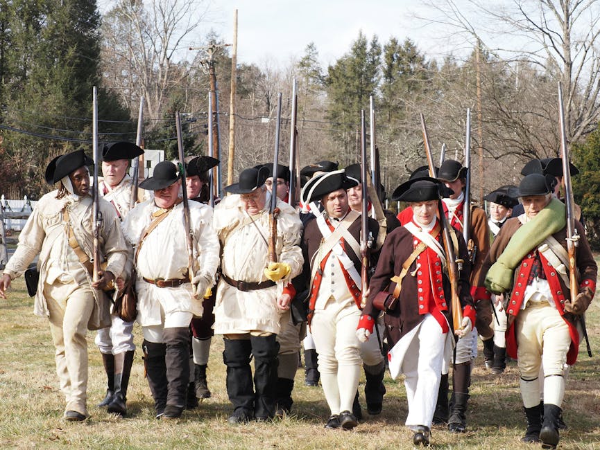
The colonial militia from Plymouth Colony, Connecticut Colony, and Massachusetts Bay Colony were led to the main Narragansett settlement in South Kingstown, Rhode Island, by an Indian guide named Indian Peter. Without that guide, the outcome of the day might have been entirely different. The swamp was, by all contemporary accounts, impenetrable without intimate local knowledge.
Had a Narragansett informer with the English name Peter Freeman not betrayed the location of his tribe, the colonists would have had no idea where to find their adversaries. Furthermore, Freeman had agreed to lead the army to the fortified village in the Great Swamp, about 8 miles west of Bull’s homestead. That 8-mile figure is one of the distance clues that researchers have tried to triangulate against possible fort locations, with uneven results.
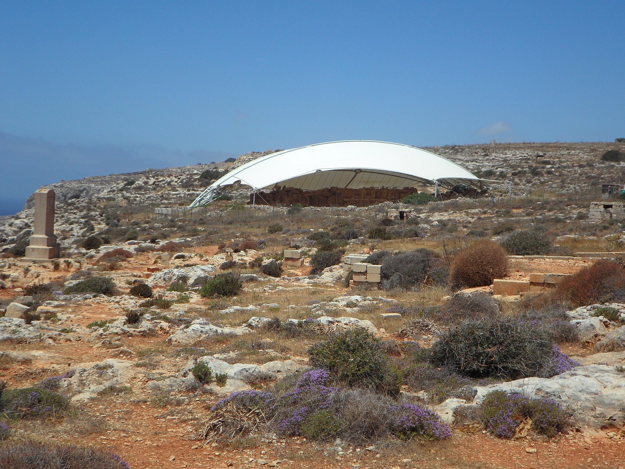
The 1906 Monument and Its Shaky Foundation
A memorial marker was placed at the presumed site of the battle in 1906 on five acres of land donated by Rowland Hazard III and the Hazard family. The placement was based on evidence gathered decades earlier, including local tradition and the discovery of certain artifacts. However, the certainty that accompanied the monument’s dedication was not matched by the archaeological evidence available at the time.
Perhaps even more unsettling is that the monument dedicated to the Great Swamp Massacre – likely the war’s most critical battle and one that would have a lasting effect on the Narragansett tribe – is probably not placed on the actual battleground. The questionable placement of this monument has driven numerous history buffs, historians, and archaeologists to search for the actual site of this battle. That search has never fully concluded.
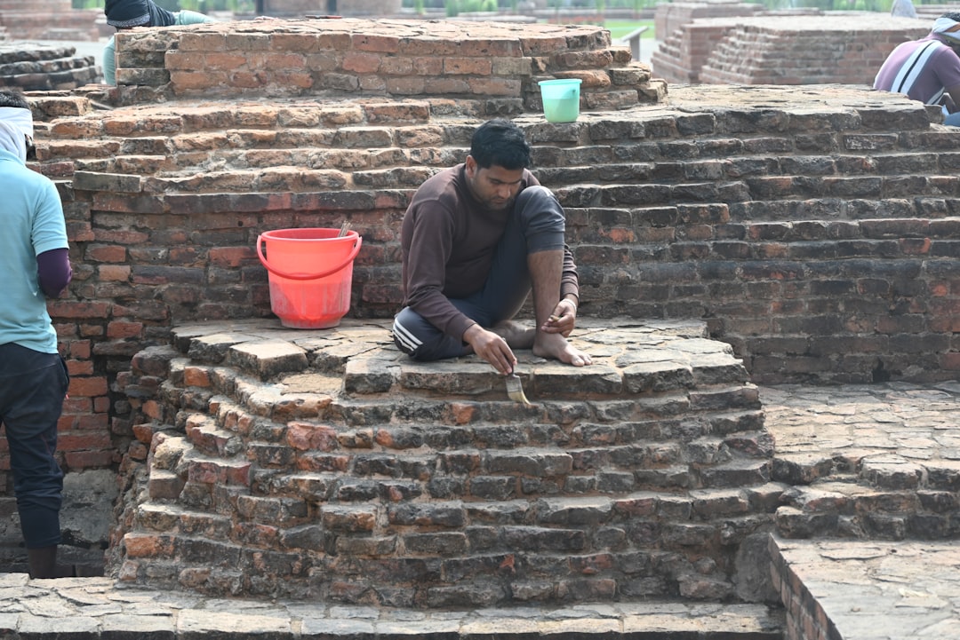
Sterile Test Pits and the Problem of Negative Evidence
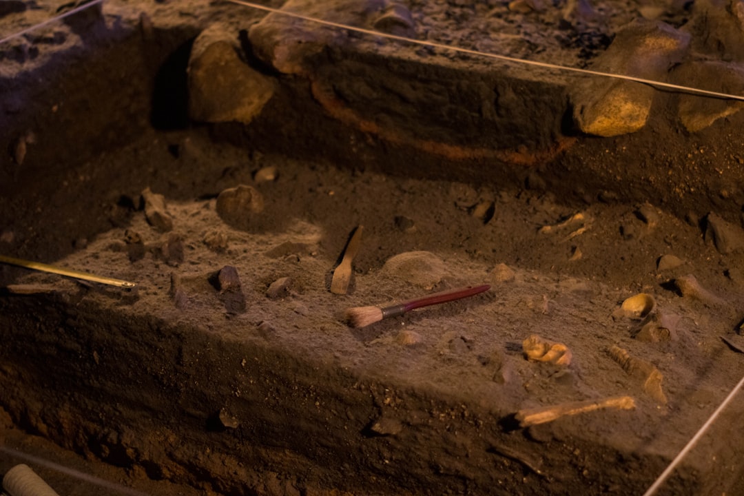
When Joseph Granger dug test pits at the monument in 1959, he found them to be sterile, a term used by archaeologists to mean “an excavation layer or deposit in which there are no cultural materials or evidence of human occupation or activity.” For a site supposedly hosting a five-acre fortified camp that was burned to the ground, the silence in those soil layers was telling. Burned structures, food remnants, and battlefield debris should have left unmistakable chemical and physical signatures.
Changes in water levels in the swamp over the centuries make the task to find the historic site even more difficult. One of the raised lands is called Great Neck, which some believe to be the location of the fight. The hydrology of the Great Swamp has shifted considerably since 1675, complicating every layer of the investigation.
What the 1993 Archaeological Survey Revealed
When a site was excavated in 1959 by professional anthropologists, they found “nearly 2,000 pieces of bone, pottery, sea shells, ornaments and stones.” Bullets and burnt corn remnants have also been found along the northern perimeter of the swamp, another possible location of the fort. These finds were significant precisely because they were located away from the monument, not under it. The distribution of artifacts pointed researchers toward a different zone of the swamp entirely.
The exact location of these findings has been kept a secret by the archaeological team for the purpose of preservation, but they have disclosed that it is not at the site of the memorial. That deliberate withholding of coordinates is understandable given the risk of looting at sensitive Indigenous sites, but it has also left the public record frustratingly incomplete.
The Changing Landscape Problem: Geology at the Center
Though swampy in spots, the place is a hardwood wetland, with white oaks and white birch, drier than it was in December 1675, when it was passable only because it had frozen solid. The current landscape is not the 1675 landscape. That distinction is critical for anyone trying to match historical accounts to physical terrain.
Thousands of years ago, retreating ice sheets and glaciers cut across the New England area, carving out a rough and varied landscape, dotting the land with ponds and forming rivers. The New England of a millennia ago was a foreign terrain, and it wasn’t until the area warmed that people lived and flourished here. That glacial inheritance – kettle ponds, variable drainage, and unstable wetland margins – means the Great Swamp’s geography has been in slow but constant motion since the last ice age. Understanding where the waterline sat in December 1675 requires genuine geological detective work.
Earlier Clues That Were Overlooked or Misread
The farm was about seven miles from Tower Hill and lay on the outskirts of the “Great Swamp.” While on the Clarke farm, Stiles located a “swamp islet” where he found burnt corn remains, two Narragansett burial grounds, and a bullet lodged near the center of a fallen oak tree that was surrounded by one hundred rings showing the tree’s age. The one hundred rings surrounding the bullet could indicate that it was lodged there around the time of the Great Swamp Massacre. Stiles, convinced that these relics were remnants of the battle, concluded that this “swamp islet” was where the “great slaughter” had occurred.
It is understandable why the Societies of Colonial Wars was convinced that the Clarke farm was the site of the battle – its location and Indian relics found there make for powerful evidence. However, skeptical historians and archaeologists would later poke holes in the validity of this evidence while also finding other viable locations for this historic battle. The Clarke farm identification was always more circumstantial than it appeared in 1906.
What Archaeologists and Historians Agree On Today
One can walk through the Swamp today, but the exact location of the fort remains in dispute. Archaeologists and ethno-historians haven’t been able to find material remains of the fort itself, but they have made some progress in locating the general area of the fighting, and many artifacts of the battle have been recovered over the years. Researchers and scholars don’t publicize the exact location of where these artifacts have been found.
The battle didn’t take place where the monument stands, the research reveals. No one can prove exactly where it did take place – there’s one promising candidate – but the experts agree that the clearing where the Society of Colonial Wars erected the monument in 1906 isn’t it. That consensus among specialists is now fairly settled, even if the precise location remains officially unresolved.
The Land Returns to the Narragansett

From the time of the 1906 monument dedication until 2021, the land on which the monument sits was owned by the Rhode Island Historical Society. On October 23, 2021, the title to the five acres of land constituting the monument site was transferred to the Narragansett Tribe to be held in perpetual trust. The transfer came after a process that had been discussed since the 1990s and involved both the state attorney general’s office and Rhode Island Superior Court.
Now that the Rhode Island Historical Society has transferred the 5-acre site in South Kingstown to the tribe, Narragansetts can step onto land they consider sacred, knowing that it is once again theirs. Restrictions on the property will continue, leaving it as open space with public access. For the Narragansett, the question of whether the monument stands on precisely the right soil is in some ways secondary to what the land represents in memory and grief.
Why the Location Mystery Still Matters

We now not only know that the evidence used to support the original placement of the monument’s location is currently in question, but that there are perhaps even more viable options for the site of the Great Swamp Massacre. Unfortunately, that is where the work ends, and until further effort is put forth, all one can do is question the accuracy of the monument’s placement. That is an unsatisfying place to leave one of the most consequential battles in colonial American history.
It would be foolish not to appreciate the amount of exploration and research done by historians, anthropologists, and archaeologists to find the Great Swamp Massacre’s location. However, it is reasonable for one to expect even more research to be done considering what the monument means to the surviving Narragansett tribe today. The intersection of geology, archaeology, Indigenous history, and living memory makes the Great Swamp one of the more layered and unresolved problems in New England’s historical record – and one that deserves sustained attention rather than settled assumptions.
The stone obelisk still stands in its clearing, ringed by four granite boulders engraved with the names of the colonies. It marks something real, even if not the precise patch of frozen ground where the killing happened. What remains true is that somewhere beneath the hardwood wetland and the shifting water table of southern Rhode Island, the physical evidence of December 19, 1675 is still waiting. The landscape has not forgotten, even if we have not yet learned how to fully read it.