
The Discovery That Started It All: A Sonar Survey Off Cuba
In the summer of 2001, a Canadian research team conducting routine sonar mapping off the western coast of Cuba spotted something unexpected. Beneath roughly 2,000 feet of Caribbean water, their equipment returned images of symmetrical stone structures, including linear formations, circular patterns, and pyramid-like shapes sprawled across the seafloor. To the untrained eye, they resembled an ancient city plan.
The discovery came from a mission led by Advanced Digital Communications, a Canadian company originally searching for old shipwrecks in an area known for Spanish colonial-era remains. Instead of broken ships, sonar scans picked up patterns that looked surprisingly organized.
The mission was led by Pauline Zalitzki, a marine engineer, and her husband Paul Weinzweig, owners of ADC, while working on a survey mission in conjunction with the Cuban government off the tip of the Guanahacabibes Peninsula in the Pinar del Río Province of Cuba.
What the Sonar Actually Showed
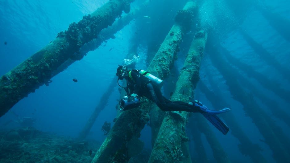
The 2001 expedition used side-scan sonar, a common method for mapping the seafloor typically employed to locate shipwrecks. What they found instead were formations stretching over several square kilometers, laid out in rectilinear grids. Initial footage from a remotely operated vehicle revealed what looked like massive blocks with smooth surfaces and sharp edges, some rising in shapes reminiscent of step pyramids.
More than 2,000 feet beneath the surface, in total darkness, the vessel towed a sonar device on an electronic tether. Pulsing sound waves sketched a picture of the sea bottom on a computer screen aboard the ship far above. As Zelitsky and Weinzweig watched the screen, the empty plain of seabed suddenly gave way to images of massive geometric shapes, apparently cut from stone. As more shapes came into view, some appeared to be arranged in patterns over a large area roughly 20 kilometers square.
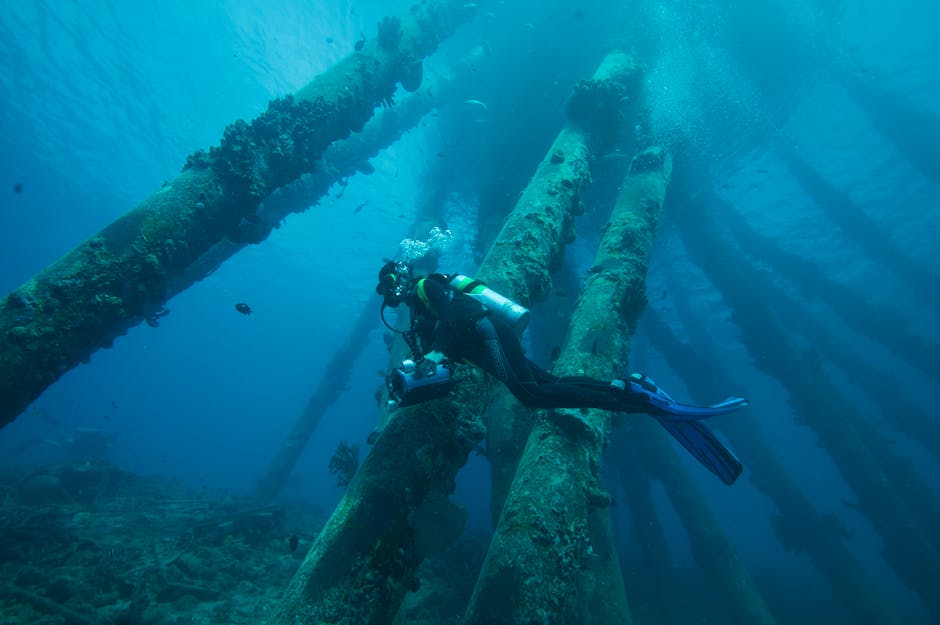
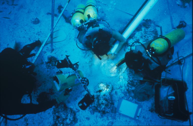
The ROV Follow-Up: Stone Blocks and Pyramid Shapes
In July 2001, the team returned to the site with geologist Manuel Iturralde, senior researcher of Cuba’s Natural History Museum. They sent down a Remotely Operated Vehicle to examine and videotape the structures. Images sent back confirmed the presence of large blocks of stone, roughly 8 feet by 10 feet, some circular, some rectangular, some in the shape of pyramids. Some blocks appeared deliberately stacked atop one another, others appeared isolated.
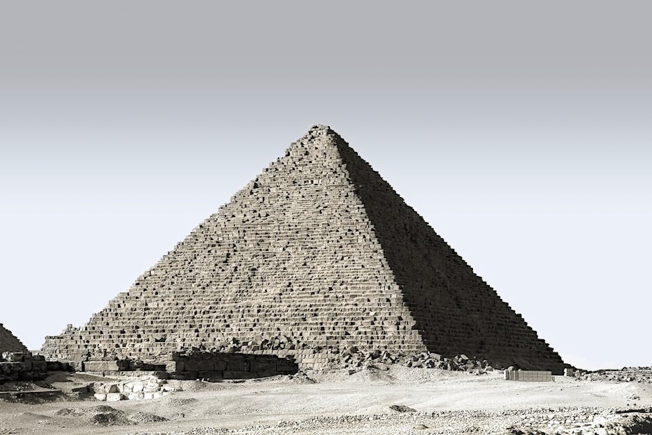
Because of their white appearance underwater, Zelitsky said the structures appeared to be granite, a good building stone but one foreign to that part of the world. She noted there is no granite in Cuba or the Yucatan, where limestone is the dominant rock. Granite is found in Central Mexico, and was used by ancient peoples such as the Maya and the older Olmec civilization.
The “Geometric City” Claim: What Researchers Said
Zelitsky reported finding “a huge land plateau with clear images of what appears to be manmade large-size architectural designs partly covered by sand.” From above, the shapes resembled pyramids, roads, and buildings.
Using sophisticated sonar and videotape equipment, Zelitsky and her team found megaliths described as similar to those found at Stonehenge or Easter Island. Some structures within the complex appeared to be as long as 400 meters wide and as high as 40 meters tall. Some were sitting on top of each other, showing very distinct shapes and symmetrical designs that the team described as non-natural in character.
Zelitsky said in an interview with the BBC that the site looked like a “large urban centre,” but she also made it clear that there was not enough evidence to confirm that.
The Depth Problem: A Major Scientific Hurdle

One of the biggest challenges to the lost-city theory is depth. The structures lie roughly 650 meters, or about 2,133 feet, below sea level. For a human-made settlement to be submerged at such depths, it would have to be at least 50,000 years old, according to Dr. Manuel Iturralde, former chief geologist at Cuba’s Natural History Museum. That predates any known civilization by tens of thousands of years.
Iturralde estimated it would have taken 50,000 years for such structures to have sunk to that depth, adding that 50,000 years ago there was no architectural capacity in any known culture to build complex buildings. A specialist in underwater archaeology at Florida State University echoed the concern, noting the structures would be “out of time and out of place.”
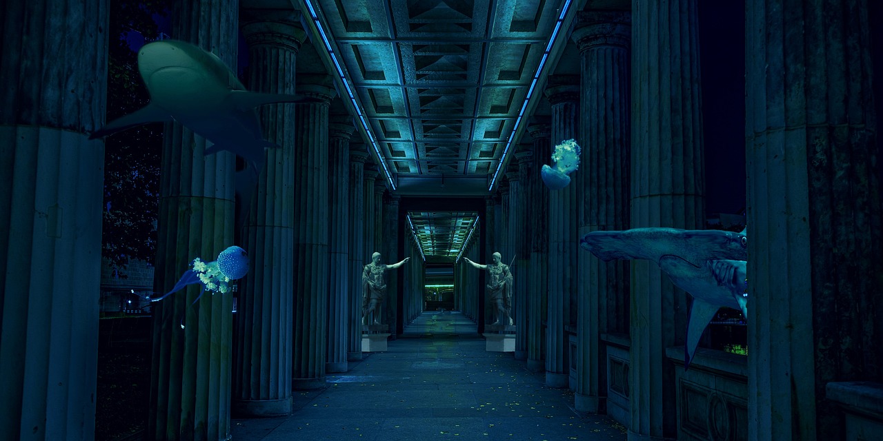
Where the Viral “Crystal Pyramid” Story Came From
Information about the discovery of a mysterious pyramid at the bottom of the Bermuda Triangle is disinformation that has been circulating in various forms on online forums and clickbait websites since 2012 and originates from a 1990 satirical publication. There is no scientific evidence to support those specific claims.
A sensational story about a crystal pyramid discovered at the bottom of the Bermuda Triangle was first printed in the May 1990 issue of the American satirical publication The Weekly World News. The “famous oceanographer Verlag Meyer” mentioned repeatedly in later articles does not exist and was invented by that satirical publication.
Despite claims that “in 2012, American and French research teams stumbled upon an underwater structure rising from the seabed,” researchers have been unable to locate the identities of, or any other information about, these purported research teams, or evidence of them releasing any articles, photographs, videos, or documentation of their claimed discovery. As fact-checkers at Snopes concluded, the only mystery is how such a claim could rock scientists who had never actually seen it.
Scientific Skepticism and Natural Explanations
Some scientists argue that the Cuban structures may simply be natural rock formations. Iturralde emphasized this skepticism, noting that if a city sank due to an earthquake as proposed, it would be unlikely to be preserved in such a defined state. Weinzweig, on the other hand, maintained that the sonar images showed organization and consistency that defied purely geological explanations.
Natural geological formations remain the leading theory among scientists, with experts pointing to limestone’s tendency to fracture along geometric patterns when subjected to tectonic stress. Some geologists argue the site could represent collapsed cave systems from when sea levels were lower during the last ice age. Skeptics also maintain that pareidolia, the human tendency to see patterns where none exist, explains why observers interpret natural rock formations as artificial structures.
What Science Has Confirmed Beneath the Bermuda Triangle
Scientists have confirmed the discovery of a strange, 12.4-mile-thick rock layer below the oceanic crust directly beneath Bermuda, a level of thickness that has never been seen in any other similar layer worldwide. This is a genuine and verified geological anomaly, not connected to pyramids, but still extraordinary in its own right.
Scientists are not entirely sure how or why this giant layer of rock formed, but it may relate to volcanic activity that ceased in the region around 31 million years ago. The discovery suggests the last eruption may have injected mantle rock into the crust, where it froze in place, creating something like a raft that raises the ocean floor by roughly 1,640 feet.
According to NOAA, there is no evidence that mysterious disappearances occur with any greater frequency in the Bermuda Triangle than in any other large, well-traveled area of the ocean. The real geology underneath is fascinating enough without embellishment.
Why the Peer-Reviewed Record Remains Empty
More than two decades after the original discovery, the site remains unexplored in any serious, peer-reviewed capacity. The original expedition collected initial footage and sonar data, but despite public excitement, peer-reviewed archaeology journals have never published formal findings on the site. No academic institution has verified the sonar images or ROV footage.
The discovery occurred in Cuban territorial waters during a period of tight U.S.-Cuba tensions. Collaborative research has always been complicated, even more so for a privately owned Canadian-Cuban venture operating under a heavy media spotlight. Those political realities, not a conspiracy of silence, largely explain why the site has never been independently verified.
The Geology of the Triangle’s Ocean Floor
Most of the ocean floor in the Bermuda Triangle sits about 19,000 feet down, while near its southern tip, the Puerto Rico Trench dips at one point to roughly 27,500 feet below sea level. The sheer scale of depth in this region makes any deep-sea structure extraordinarily difficult and expensive to access.
The Triangle sits at the intersection of powerful currents, deep trenches, and volatile weather systems. The Gulf Stream sweeps northward past Florida and Bermuda at several knots, capable of rapidly carrying floating wreckage far from accident sites and masking evidence. The Puerto Rico Trench plunges to the Milwaukee Depth, the deepest point in the Atlantic at approximately 27,493 feet. This makes wreck recovery extraordinarily difficult.
What We Still Don’t Know, and Why It Matters
Genuine experts remain intrigued by the Cuban structures. Zelitsky, now retired from deep-sea work, once described the structures as “too organized to be natural,” but without follow-up data, such claims remain unresolved.
Researchers from the University of Southampton estimate that more than 80 percent of the ocean floor remains uncharted. That statistic alone is worth sitting with for a moment. The honest possibility is that there are genuine anomalies on the seafloor near Cuba waiting for proper investigation, but that no amount of viral speculation substitutes for the slow, unglamorous work of verified science.
The underwater world is notorious for its capacity to distort and deceive. Sonar images can be open to interpretation, and the challenges of underwater archaeology are immense. The difficulty of conducting thorough on-site investigations further complicates matters. The story of the sunken “geometric city” is, at its core, a story about the limits of what sonar can tell us and what we choose to believe in the absence of proof.
What’s genuinely down there, whether reshaped geology or something more, still waits for the instruments and the funding to find out. Until then, the images remain what they’ve always been: intriguing shadows on a screen, at the bottom of a very deep, very dark ocean.