
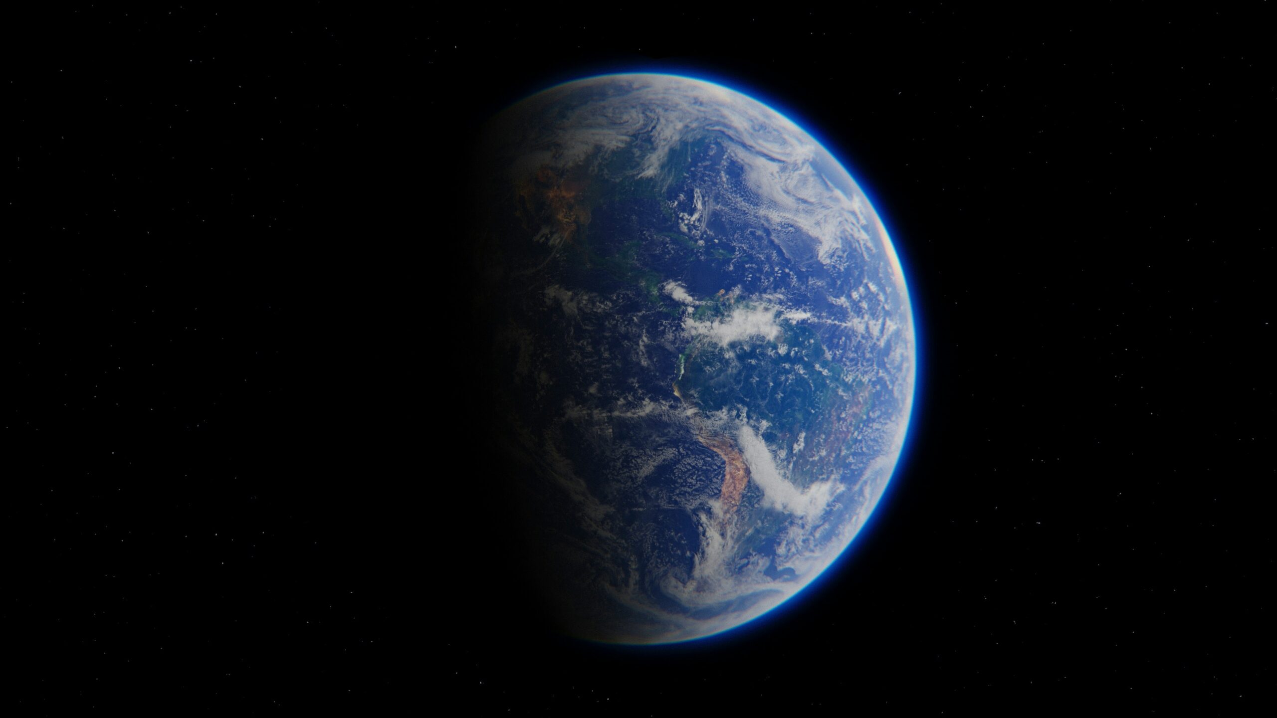
See Artemis 2’s amazing views of Earth in timelapse video taken from 12,000-photo drop – Image for illustrative purposes only (Image credits: Unsplash)
The Artemis 2 spacecraft carried four astronauts farther from Earth than any humans had traveled in more than half a century. During the mission, the crew recorded thousands of images of the planet below as their vehicle looped around the Moon. Those raw frames have now been assembled into a continuous video that compresses days of orbital motion into a few minutes of striking motion.
A Mission That Revived Human Exploration
Artemis 2 marked the first time people left low-Earth orbit and traveled toward the Moon since the final Apollo flight in 1972. The four-person crew tested the Orion spacecraft in deep space, confirming systems that will support longer journeys later in the decade. While the primary goal remained engineering validation, the astronauts also operated cameras to document the view from their unique vantage point.
The resulting photographs show Earth as a bright, slowly turning sphere against the blackness of space. Cloud patterns, ocean reflections, and the thin line of atmosphere stand out clearly in the high-resolution shots. Mission planners had anticipated such imagery would serve both scientific and public-interest purposes.
Turning Thousands of Frames Into Motion
After the spacecraft returned, specialists on the ground sorted and aligned more than 12,000 individual exposures. The images were taken at regular intervals as Orion circled the Moon, capturing the changing angle of sunlight across continents and seas. Software stitched the sequence together, removing minor vibrations and adjusting exposure so the final video flows smoothly.
The finished timelapse reveals Earth rotating beneath the spacecraft while the Moon’s surface slips past in the foreground. Viewers can watch day and night cycles sweep across the planet in accelerated time. The video also shows the spacecraft’s own shadow occasionally crossing the illuminated surface, a detail that underscores the distance traveled.
What the Images Reveal About Our Planet
Even at lunar distance, familiar geographic features remain recognizable. The curvature of the atmosphere appears as a delicate blue halo, and major weather systems stand out as swirling white masses. Nighttime portions of the globe display clusters of city lights that trace coastlines and population centers.
Scientists note that repeated imaging from this altitude can help track large-scale changes in cloud cover and ice extent over time. The Artemis 2 data set adds a new reference point for comparison with earlier Apollo photographs and current satellite observations. Public release of the timelapse has already prompted renewed discussion about the fragility of the home planet when seen from such remote distances.
Looking Ahead to Future Artemis Flights
Artemis 2 served as a dress rehearsal for more ambitious crewed missions planned later in the program. The success of the photography campaign demonstrates that future crews will have both the time and equipment to continue documenting Earth from greater distances. Planners expect subsequent flights to expand the imaging program, adding multispectral cameras and longer observation windows.
The current timelapse stands as an early example of how human presence near the Moon can produce compelling visual records. Those records, in turn, help maintain public engagement with the broader exploration effort. As the Artemis program advances, similar visual products are likely to become routine deliverables from each crewed flight.