
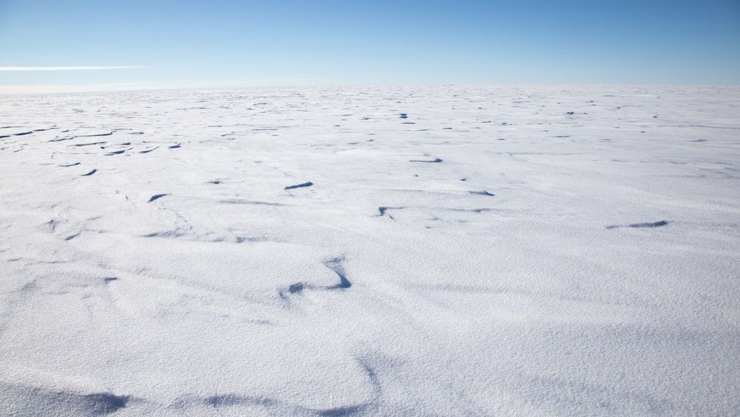
Drone Imagery Reveals Marked Variability in Antarctic Snow Roughness – Image for illustrative purposes only (Image credits: Unsplash)
Qinling Station, East Antarctica — Researchers deployed drones to scrutinize the subtle contours of Antarctic snow, uncovering how weather dramatically alters the continent’s surface bumpiness. This aerodynamic roughness length, a critical factor in heat and moisture exchange between snow and air, proved far more dynamic than previously assumed. A new study detailed these fluctuations, challenging simplifications in climate models.
The Hidden Role of Surface Texture in Polar Dynamics
Snow-covered expanses in Antarctica regulate the atmosphere’s interaction with the ground through their physical texture. Aerodynamic roughness length, denoted as z0, quantifies this bumpiness, determining how effectively wind drags across sastrugi—those wind-sculpted ridges and furrows—and influences drifting snow or melt patterns. Models often assign a uniform z0 value across vast regions, a practical shortcut born from measurement challenges in such remote terrain.
Yet this approach overlooks real-world complexities. Stronger interactions occur over rougher surfaces, amplifying local weather effects and altering energy balances. The variability matters because it shapes everything from short-term forecasts to long-term ice loss projections.
Drone Technology Maps Micro-Scale Changes
A team led by Zheng et al. turned to multi-temporal unmanned aerial vehicle (UAV) oblique photogrammetry for precise mapping at Qinling Station. They captured high-resolution images over time, generating detailed models of surface features under varying conditions. This method revealed z0 differences tied to surface types, observation scales, and even the algorithms used for calculations.
The surveys highlighted a complex interplay with meteorology. Snow sastrugi zones showed z0 swinging by an order of magnitude—from 0.1 mm to 10 mm or more—depending on recent events. Such precision exposed patterns invisible to ground-based tools or satellites.
Weather’s Direct Impact on Roughness Evolution
Fresh snowfall smoothed surfaces initially, boosting z0 as new layers added bulk and irregularity. Strong winds followed, eroding features and slashing roughness values sharply. These shifts responded not just to wind speed but to sequences of storms, creating a feedback loop with atmospheric conditions.
The study pinpointed how microtopography evolves rapidly. In one instance, post-snowfall z0 peaked before winds carved it down. Such order-of-magnitude changes underscore the surface’s sensitivity, a finding that demands reevaluation of static assumptions in simulations.
| Factor | Effect on z0 | Example |
|---|---|---|
| Snowfall | Increases | Adds volume to sastrugi |
| Strong winds | Decreases | Erodes ridges |
| Scale of measurement | Varies | Finer views show more detail |
Implications for Climate Modeling and Beyond
These insights push for finer-resolution inputs in Earth system models. Capturing z0 variability could refine predictions of snow transport, melt rates, and polar heat exchanges. Weather and climate forecasts for Antarctica stand to gain accuracy, aiding global efforts to track ice stability.
Elizabeth Orr, associate editor for the Journal of Geophysical Research: Earth Surface, noted the study’s emphasis on meteorological influences. While challenges remain in scaling these observations continent-wide, the work lays groundwork for dynamic roughness parametrizations. Future campaigns may integrate UAV data with broader satellite views.
Antarctica’s snow surfaces demand this level of scrutiny to mirror reality in models. As polar research advances, such granular data promises sharper tools for understanding a warming world.