
Up to 2cm a month: Nasa keeps track as Mexico City sinks into the ground – Image for illustrative purposes only (Image credits: Unsplash)
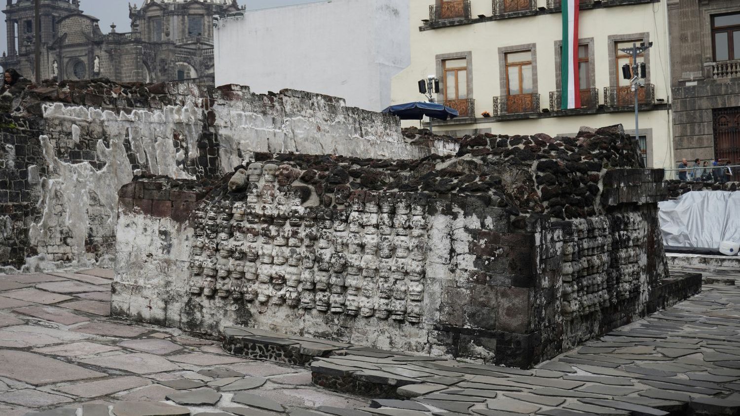
Mexico City – The capital’s central plaza offers an immediate visual clue to a long-running geological process. The Metropolitan Cathedral leans noticeably in one direction, while the attached Metropolitan Sanctuary tilts the opposite way. Nearby, the National Palace also appears out of alignment. These visible shifts mark the most obvious evidence of subsidence that has affected the city for more than a century.
Historic Structures Reveal the Scale of the Problem
The uneven settling of landmark buildings has drawn attention for decades. Engineers and architects have documented gradual tilts in structures built centuries ago on the soft lakebed that once covered the valley. The cathedral’s spires, for instance, now stand at angles that require ongoing stabilization work. Similar adjustments have been needed at other colonial-era sites across the historic center. These physical changes serve as daily reminders that the ground beneath the city continues to compact.
Radar Technology Provides Fresh Measurements
A powerful radar system operated by NASA now supplies updated data on the rate of movement. The technology measures surface changes with precision, confirming subsidence rates that reach as high as 2 centimeters in a single month in certain districts. Earlier ground-based surveys had already established the long-term trend, yet the satellite observations add consistent, wide-area coverage that was previously unavailable. Researchers note that the new readings help map variations across neighborhoods rather than relying on scattered point measurements alone.
Why the Ground Keeps Compacting
The city rests on layers of clay and volcanic ash deposited by ancient lakes. Over time, the extraction of groundwater has accelerated the compression of these sediments. As water is removed, the soil loses volume and the surface drops. This process has operated for generations, but modern pumping rates have intensified the effect in recent decades. The radar data now allow scientists to distinguish between areas experiencing faster or slower movement, offering a clearer picture of where the most rapid changes occur.
Efforts to Highlight the Ongoing Challenge
Experts involved in the monitoring project hope the detailed radar findings will increase public and official awareness of the issue. They point out that subsidence affects infrastructure, drainage systems, and building foundations throughout the metropolitan area. While some mitigation measures, such as regulated water use, have been discussed, the new measurements underscore the need for sustained attention. Continued observation through the radar system is expected to support better planning for future adjustments to the city’s built environment.