
Want to Predict Wildfire Severity? Look to the State of Vegetation – Image for illustrative purposes only (Image credits: Flickr)
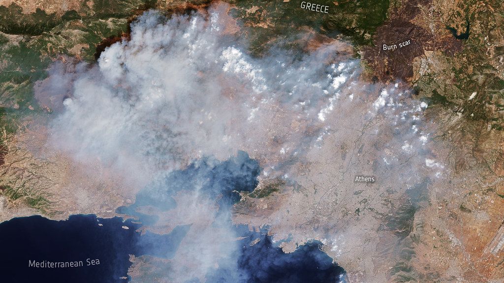
Los Angeles – Massive wildfires tore through hillsides and canyons in January 2025, leveling neighborhoods and scarring ecosystems in this fire-prone Mediterranean climate zone. Urban growth, shifting weather patterns, and decades of fire suppression had amplified risks at the wildland-urban interface, rendering blazes more fierce and elusive. A new study now points to the condition of vegetation before flames ignite as the strongest signal for forecasting a fire’s destructive reach.
January’s Fires Expose California’s Vulnerabilities
Three major wildfires – the Palisades, Hughes, and Eaton fires – raged across varied terrains in the Los Angeles area that month. Dry conditions fueled rapid vegetation growth earlier in the season, only to turn that fuel into a tinderbox as summer-like heat persisted. Neighborhoods vanished in hours, prompting urgent questions about what truly governs a fire’s intensity.
Researchers zeroed in on preburn factors to unravel these patterns. They examined fuel traits, landscape slopes and elevations, and prevailing winds, drawing from satellite data that captured the vegetation’s precise state right before ignition.
Satellite Data Powers a New Modeling Approach
The team harnessed observations from NASA’s ECOSTRESS and EMIT instruments aboard the International Space Station. These tools measured plant moisture levels, stress indicators, and overall vitality with unprecedented detail. Such data served as precursors to an upcoming NASA mission, the Explorer for Artemis Geology Lunar and Earth, or EAGLE, which promises even broader applications.
With this information, Ward-Baranyay and colleagues developed a random forest regression model. The algorithm sifted through variables to isolate what mattered most in dictating burn severity across the fire zones. Traditional factors like wind and terrain played roles, but one element consistently rose above the rest.
Fuel Conditions Trump Other Drivers
Prefire vegetation emerged as the dominant influence on how severely landscapes burned. Abundant, stressed, or desiccated plants proved far more telling than topographic features or weather alone. Shrub and scrub lands, prevalent in the region, yielded the model’s sharpest predictions, while forested areas showed more variability.
The model explained roughly 60 percent of burn severity variations overall. It excelled for the Palisades and Hughes fires, mapping their patterns with high fidelity. Performance dipped for the Eaton Fire, likely due to its rugged, multifaceted topography that introduced unmodeled complexities. Still, these results highlighted vegetation’s outsized role.
Key Model Findings:
- Vegetation state outperformed topography and wind in severity forecasts.
- Shrub/scrub cover enabled the most reliable predictions.
- 60% accuracy in capturing burn patterns across sites.
- Palisades and Hughes fires modeled best; Eaton lagged due to terrain.
Pathways to Better Wildfire Preparedness
Monitoring plant conditions could transform hazard assessments in California and similar regions. Satellites offer real-time tracking of fuel dryness and stress, enabling proactive warnings before sparks fly. This approach sidesteps some limitations of weather-dependent models, focusing instead on the landscape’s inherent readiness to burn.
Fire managers might integrate these insights into planning, prioritizing zones with vulnerable vegetation. As climate pressures mount, such tools grow essential for safeguarding communities at the urban fringe. The study, detailed in AGU Advances, underscores a shift toward biology-driven predictions in an era of escalating risks.
Ultimately, the greenery that sustains California’s beauty also harbors its greatest threats. By decoding its signals, scientists edge closer to taming the unpredictable fury of wildfires.